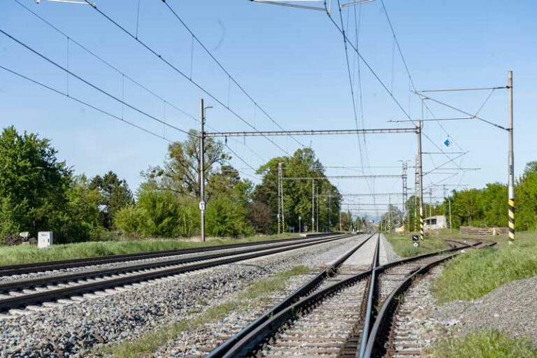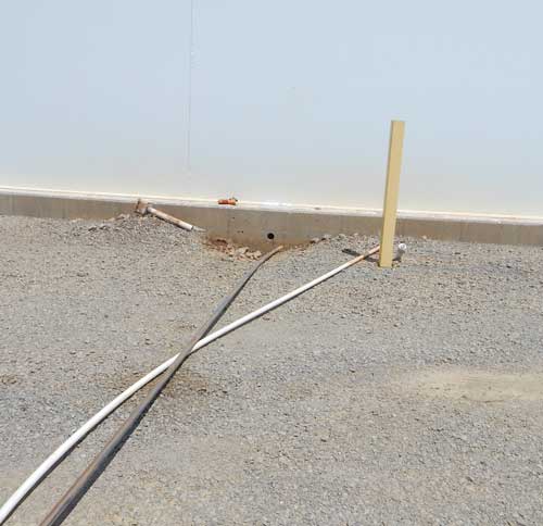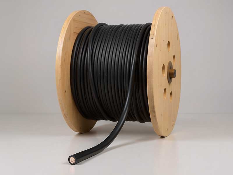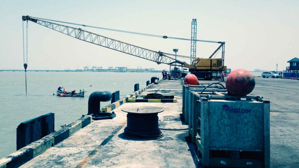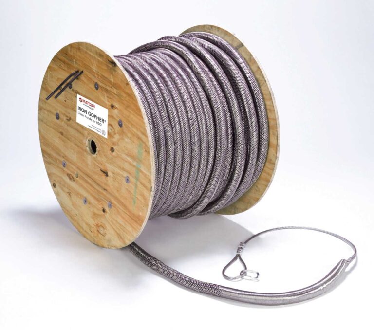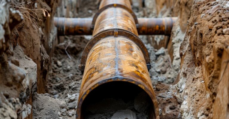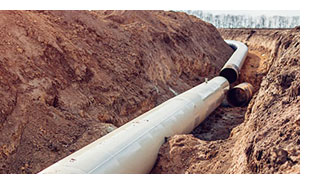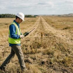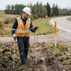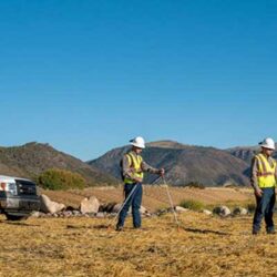
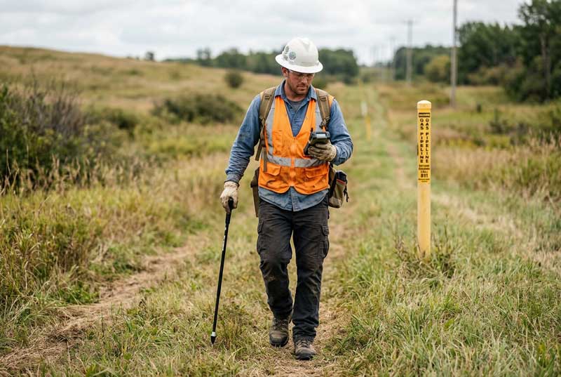
Accurate depth of cover data supports regulatory compliance at road, rail, and water crossings, identifies areas where erosion or grading changes have reduced cover, and flags exposure risk from third-party excavation. It’s also a required design input for AC mitigation modeling wherever the pipeline is collocated with overhead power lines.
Depth of cover survey services include:
- Pipeline depth measurement along the right-of-way
- Centerline location and mapping
- GPS-referenced survey records
- Identification of shallow or exposed cover areas
- Crossing and collocation documentation
- Data deliverables for compliance and AC modeling